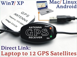
Setup a Marine Chartplotter GPS System out of your Laptop PC or Tablet (Google Earth, Garmin, Cmap, Navionics, ...)
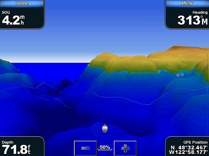
A simple Marine GPS system will greatly improve water safety and the ease of navigation.
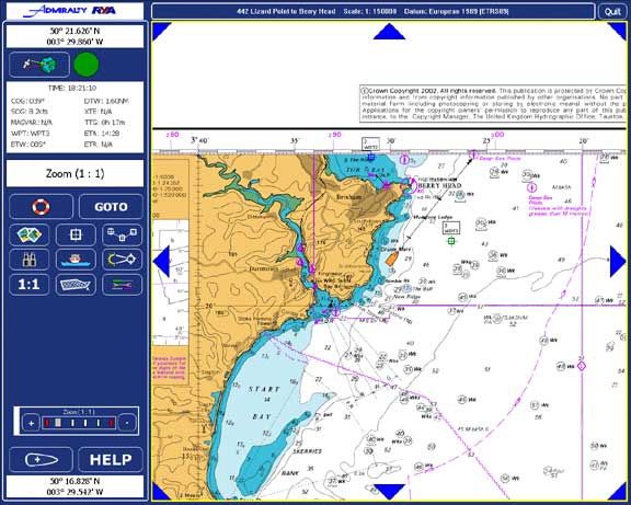
There are many difference kinds of Laptop Chartplotter (software), SeaClear, Cmap, OpenCPN Memory-Map, Garmin, Google Earth, ... available on market but all need to work with a "Satellites Based GPS Receiver" (hardware) that decode the NMEA Data from Satellites.
Before these devices, if you were lost at sea the best thing you could do was to radio in the coast guard or get help from another seafarer.
Now, with your laptop, you have the luxury of being able to setup a personal Marine GPS unit that will guide you out of any troubled situation. This Global Positioning System tracks your trip and stores tons of pertinent information in its database. At any time, you can find out the exact coordinates of where you originated from, where you are now, where your destination is and how to get there.
Gone are the days of feeling helpless and stranded, this is the new wave of technology and as a sea traveler you should not miss out.
Software requirement:
(You can select any GPS Map (software) that work on GPS Protocol NMEA-0183. )
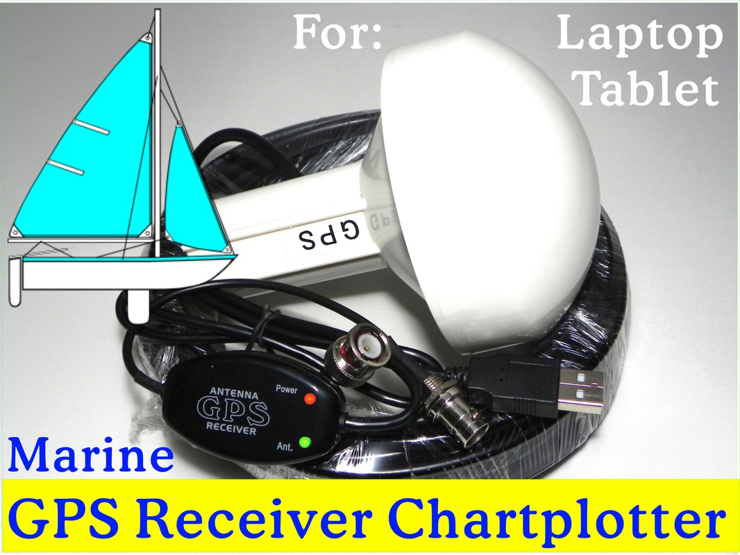
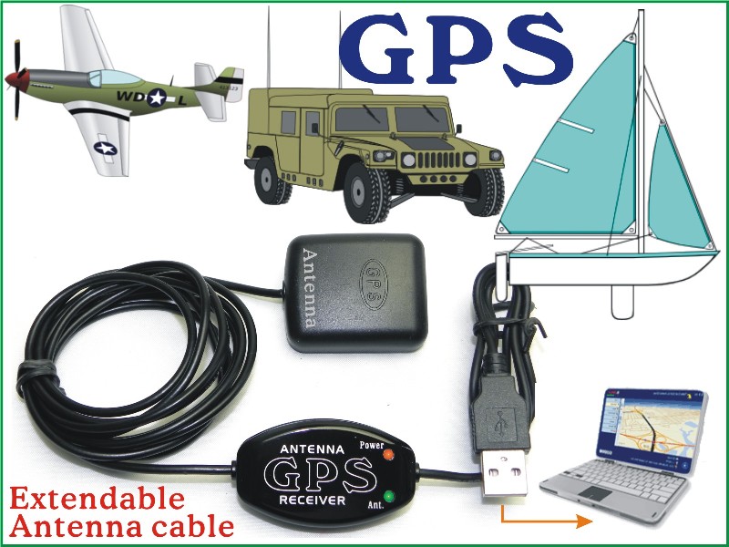
A good external GPS Antenna is the foundation of a good Marine GPS Navigation system, You should never use a GPS Receiver that only equipped with an internal antenna. (GPS Receiver with external Antenna)
(If you want to use the Laptop GPS in a more sheltered position and leave the Antenna at open space then you need a longer Antenna Cable. The RF Antenna Cable can be extending to 30 meters or longer no problem (just like a TV Antenna Cable). You should never use a USB extension cable longer then 2 meters or you will found data lost and system malfunction. )
Links to find GPS Chartplotter Map (software), SeaClear, Memory Map, .. for OS Window, Mac, Linux, Android:
http://www.maps-gps-info.com/fgpfw.html
A Memorial for Standalone GPS Units – Death by Laptop or Tablet GPS
Laptop GPS FAQ:
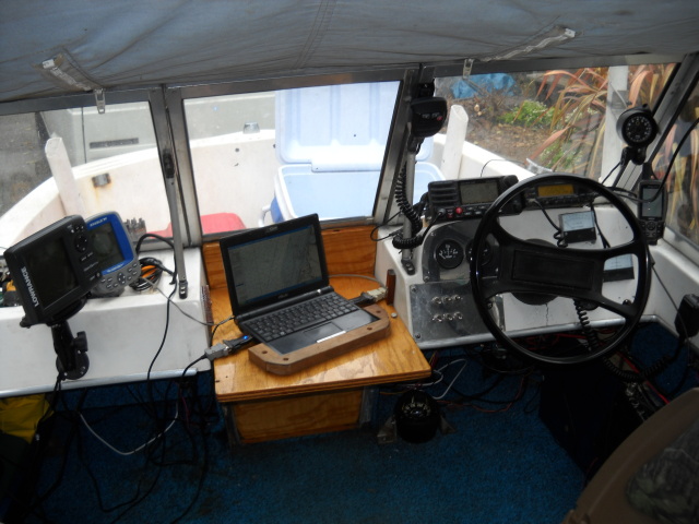
If you don’t want to pay for a Standalone Chartplotter that costs more than your boat then just bang it on a laptop or Tablet, hook up the external GPS Receiver and off you go.
Sole supplier:
Get a Laptop GPS Receiver w/ a short USB Cable (0.7 meter) but long Antenna Cable (2, 3, 5, or 10 meters) from the sole supplier.
Tech News:
Select a suitable GPS Antenna for your Navigation System:
Hints to Mount the GPS Antenna:
- Use your Laptop as a Wide Screen GPS Chartplotter Display.
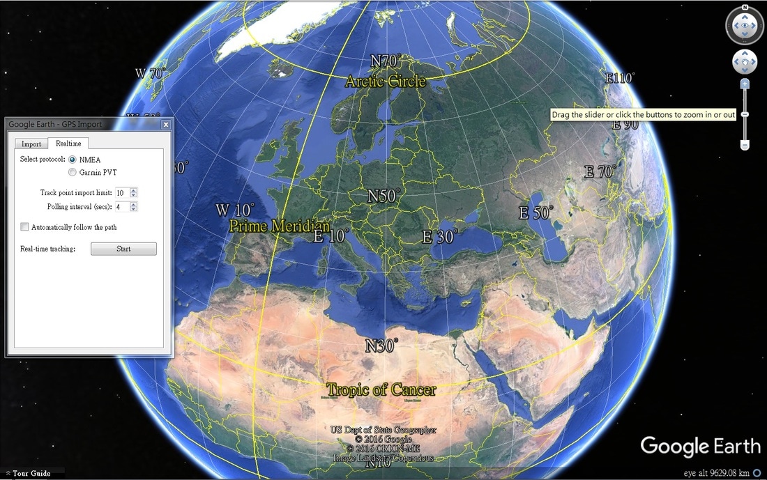
- Download a free Google Earth Map or OpenCPN from Internet. (or any GPS Map match NMEA-0183 protocol, Baud Rate 4800 or 9600)
- Buy a Laptop GPS Receiver at about US$30~50 (Better with an external Antenna 3, 5 or 10 meters)
A simple Marine GPS system will greatly improve water safety and the ease of navigation.
There are many difference kinds of Laptop Chartplotter (software), SeaClear, Cmap, OpenCPN Memory-Map, Garmin, Google Earth, ... available on market but all need to work with a "Satellites Based GPS Receiver" (hardware) that decode the NMEA Data from Satellites.
Before these devices, if you were lost at sea the best thing you could do was to radio in the coast guard or get help from another seafarer.
Now, with your laptop, you have the luxury of being able to setup a personal Marine GPS unit that will guide you out of any troubled situation. This Global Positioning System tracks your trip and stores tons of pertinent information in its database. At any time, you can find out the exact coordinates of where you originated from, where you are now, where your destination is and how to get there.
Gone are the days of feeling helpless and stranded, this is the new wave of technology and as a sea traveler you should not miss out.
Software requirement:
- For Laptop with Windows or Mac OS you need to install a driver PL2303 (come with the GPS Receiver) to enable the GPS Receiver work with your laptop through the USB port.
- Drivers PL2303 have difference versions for difference OS of Windows, Mac, Linux …. (The latest Windows 8.1 need both new versions of Hardware & Software. (See details of win8 GPS)
- After installed the PL2303 driver and connected the GPS Receiver (Hardware) to your Laptop you can use difference kinds of GPS Map / Marine Chartplotter (Software) for Navigation. (Or just download a free version of Google Earth map will achieve.)
- Android Tablet: (Details about Offline GPS system for Android OS)
(You can select any GPS Map (software) that work on GPS Protocol NMEA-0183. )
A good external GPS Antenna is the foundation of a good Marine GPS Navigation system, You should never use a GPS Receiver that only equipped with an internal antenna. (GPS Receiver with external Antenna)
(If you want to use the Laptop GPS in a more sheltered position and leave the Antenna at open space then you need a longer Antenna Cable. The RF Antenna Cable can be extending to 30 meters or longer no problem (just like a TV Antenna Cable). You should never use a USB extension cable longer then 2 meters or you will found data lost and system malfunction. )
Links to find GPS Chartplotter Map (software), SeaClear, Memory Map, .. for OS Window, Mac, Linux, Android:
http://www.maps-gps-info.com/fgpfw.html
A Memorial for Standalone GPS Units – Death by Laptop or Tablet GPS
- You can buy a 5" Standalone GPS at >US$200 and usually it included a GPS Map that covered a small area of your city with little function. You have to paid extra money again for the GPS Map of other country or city.
- With a Laptop GPS Receiver, you can select lots of GPS Map with special functions you prefer.
- (I want to setup GPS on Android Tablet, Kindle Fire .... ): Android Tablet GPS with Offline Map, without Internet, without 3G, without WiFi
Laptop GPS FAQ:
- First time to setup a Laptop GPS System
- I got a Baud Rate & GPS Mode (NMEA) compatible problem
- How to use Garmin Map on Laptop with a non-Garmin GPS Receiver
- How to setup a Marine Chartplotter on my Laptop or PC
- What is the difference between a Real GPS & a Fake GPS
- How to minimize temporary loss of signal & improve the 3D Position Accuracy
- GPS for Android Tablet with Offline Map, without Internet, without 3G, without WiFi
If you don’t want to pay for a Standalone Chartplotter that costs more than your boat then just bang it on a laptop or Tablet, hook up the external GPS Receiver and off you go.
Sole supplier:
Get a Laptop GPS Receiver w/ a short USB Cable (0.7 meter) but long Antenna Cable (2, 3, 5, or 10 meters) from the sole supplier.
Tech News:
Select a suitable GPS Antenna for your Navigation System:
Hints to Mount the GPS Antenna:
- The GPS Antenna will work under the wood epoxy, plywood, or fiberglass no problems. You no need to put the Antenna outside at the top of your Boat unless your boat is made by Steel or Aluminum.
- In case if you need to fix the Antenna outside on the top of your Boat or Vehicle, you need the types of Marine Antenna same as the following photo:
 RSS Feed
